The Bas-Saint-Laurent – Gaspésie Snowmobile Tour

| 10 days |1725 km (1070 miles) | from Rivière-du-Loup to Rivière-du-Loup

The Bas-Saint-Laurent – Gaspésie Snowmobile Tour is famous for excellent snow and trail conditions as well as breathtaking scenery. From Rivière-du-Loup, follow Trans-Québec trail #5 (TQ5), which will take you from the mountains to the sea, with magnificent vistas all along the way. With its bridges, snowy forest trails and frozen waters, this tour is a dream come true for snowmobilers!

Visit our Snowmobiling page to find all the information you need to plan your snowmobile trip in Eastern Quebec!

Travel Itinerary

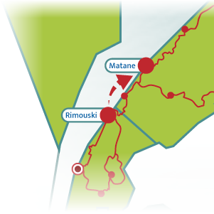
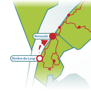
140 km (85 mi.)Rivière-du-Loup to Rimouski

1

In the Trois-Pistoles area, take trail #518 (via trail #571) and enjoy an exceptionally wide trail section.

Head next to the lookout in Saint-Fabien (via trail #518 and a local trail) to admire an amazing view of the St. Lawrence River, the nearby coast and Parc national du Bic.
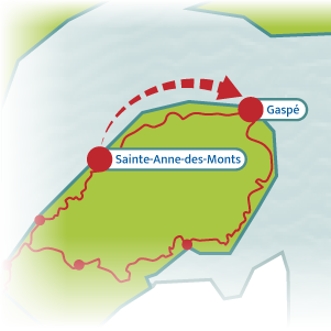
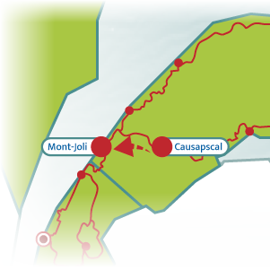
315 km (195 mi.)Sainte-Anne-Des-Monts to Gaspé

4

This trail section is renowned for its panoramic views. Your journey will take you into the mountains as well as through picturesque villages nestled in magnificent bays.

Riding up to the top of Mt. Saint-Pierre is a must for a stunning view of the St. Lawrence.

Please note that the snowmobile bridge on Trans-Québec trail #5 in Sainte-Madeleine-de-la-Rivière-Madeleine is closed for the 2025 season for safety reasons. A free shuttle will be available for snowmobilers to bypass this bridge every day from 6 a.m. to midnight as soon as the trails open in this area.

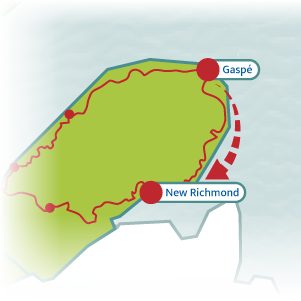
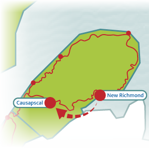
305 km (190 mi.)Gaspé to New Richmond

5

In Percé, take the trail behind the church and ride to the top of Mt. Sainte-Anne for an exceptional must-see view of Percé Rock and the Gulf of St. Lawrence.

In Grande-Rivière, drive over the river by the same name on the newly built suspension bridge, which is 6.7 metres (23 feet) high, 1.8 metres (6 feet) wide and 81.7 metres (270 feet) long. This is one of the longest snowmobile bridges in Québec.

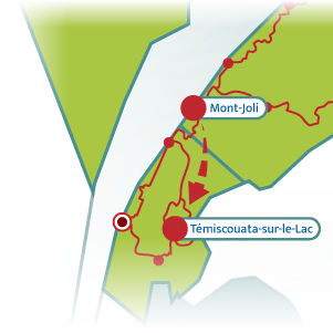
210 km (130 mi.)Mont-Joli to Témiscouata-sur-le-Lac

8

Option 1
(via trail TQ35 from Mont-Lebel and TQ85)

This option will take you through the high country up and down hills, through woods and alongside lakes. In Témiscouata-sur-le-Lac, enjoy a lovely view of Lake Témiscouata.


Option 2
(via trail TQ35 from Mont-Lebel, trail #571 and TQ85)

This option takes you south on trail #571 (via trail TQ35) to Dégelis. From there, you will ride north to Témiscouata-sur-le-Lac alongside Lake Témiscouata, the region’s largest body of water.

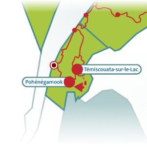
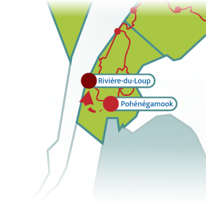
55 km (35 mi.)Témiscouata-sur-le-Lac to Pohénégamook

9

 (via TQ85 and TQ35)

Welcome to Pohénégamook, a winter feeding area for over 500 white-tailed deer!

You can also see more white-tailed deer in the Saint-Pacôme area.